A little bit about me!

Here are some of my skills in a nutshell

Machine Learning image
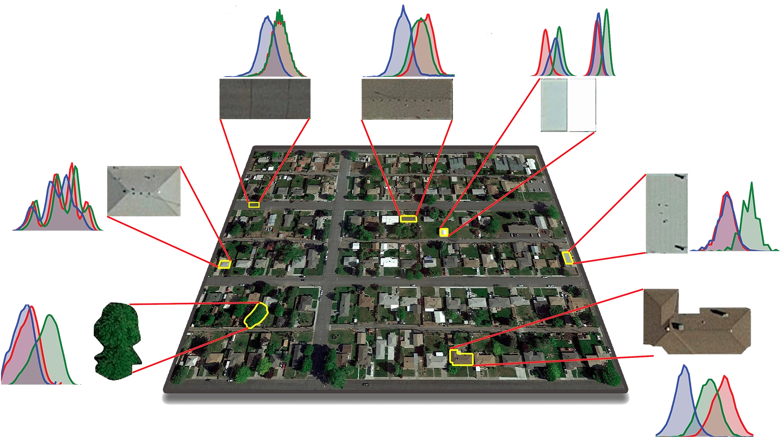
Remote Sensing image
import torch
import rasterio
from torchvision import transforms
def preprocess_image(file_path):
    with rasterio.open(file_path) as img:
    array = img.read()
    tensor = torch.from_numpy(array)
    return tensor
image_tensor = preprocess_image('img.tif')
transform = transforms.Compose([...])
transformed_tensor = transform(image_tensor)
GIS image

Experience

  • Msc. in Surveying (Geomatics) Engineering

    University of Isfahan, Iran

    Developed a predictive modeling approach for parameterizing the Multi-Resolution Segmentation algorithm in remote senisng.


  • Machine Learning and Remote Sensing Specialist

    Omran Tarightat, Iran

    Developed different machine/deep learning models for various land-cover classification tasks.


  • PhD in Physical Geography

    Queen's University, Canada

    Developed a wide range of deep learning solutions for habitat mapping, urban mapping, and local climate zone mapping.


  • Data Scientist

    Lim Geomatics Inc., Canada

    Developed different machine/deep learning models for a wide spectrum of forestry applications.